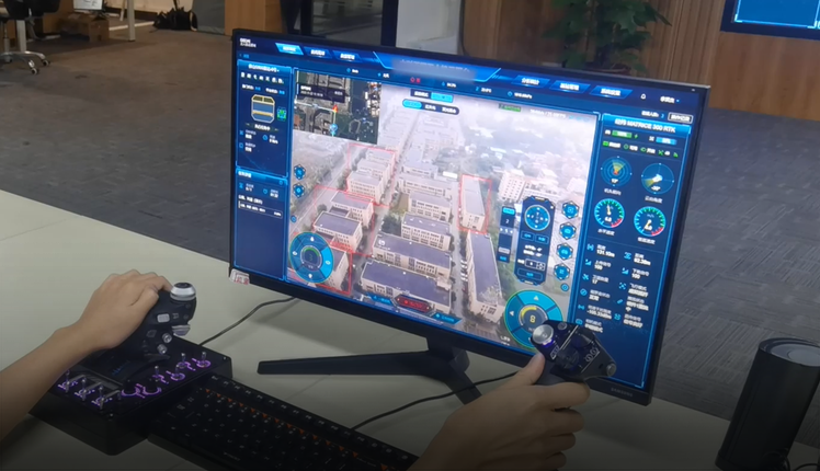
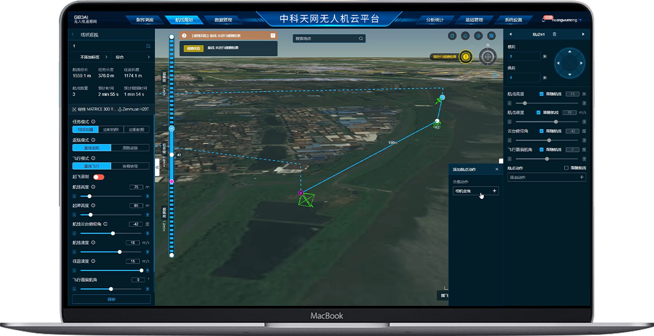
It supports remote control of UAVs (nose direction, gimbal angle, zooming and IR switching, etc
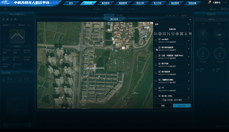
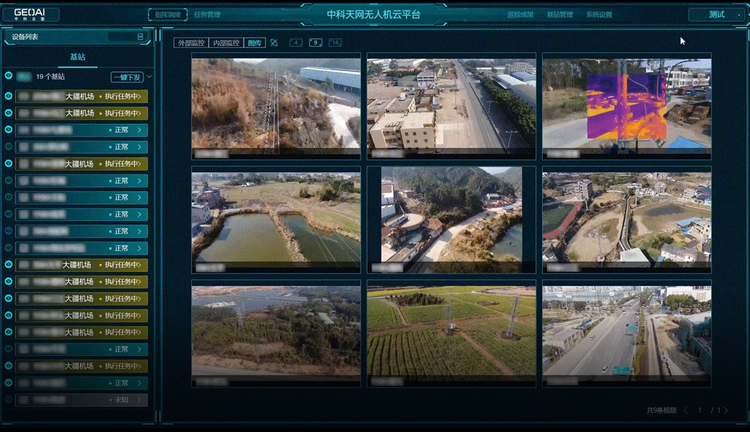
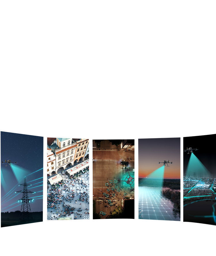
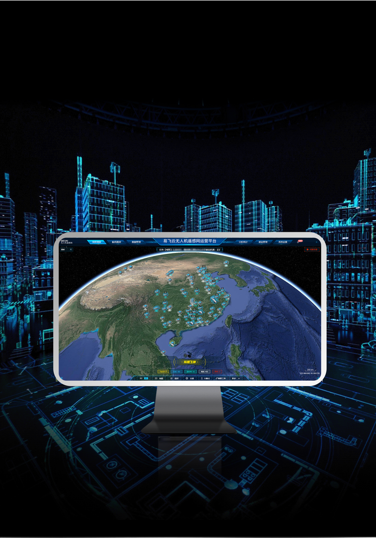
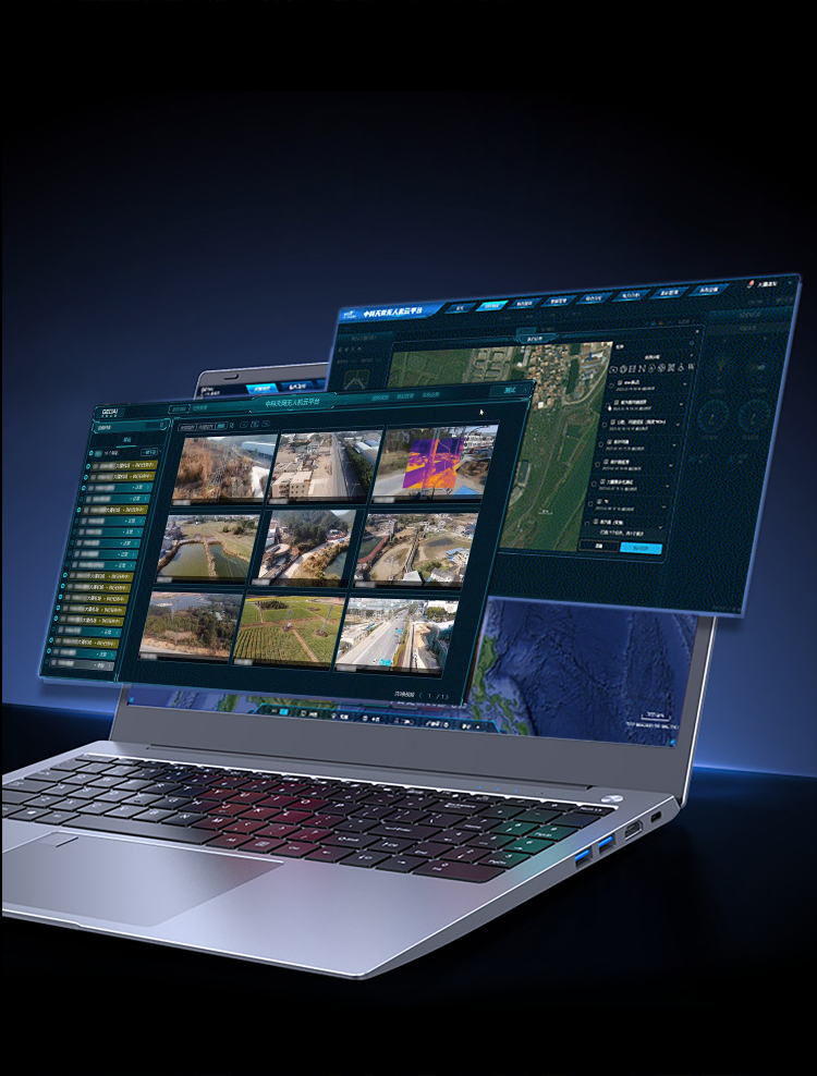
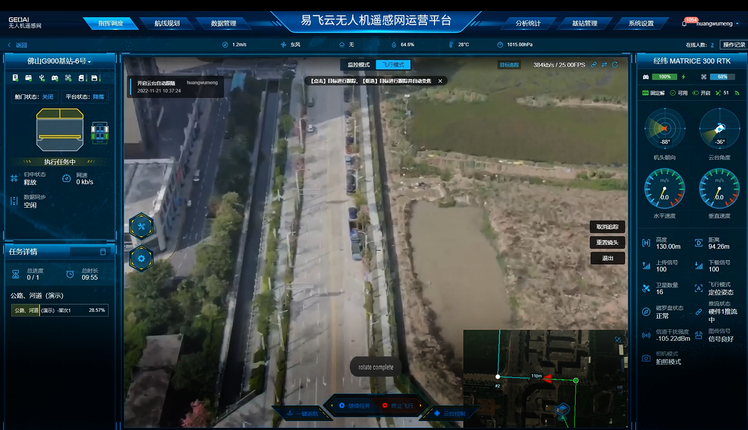
GEOAI UAV Operation System
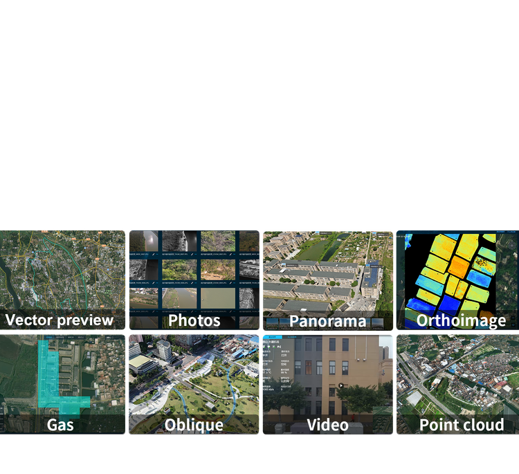
GEOAI UOS is a UAV remote sensing network operation platform integrating dispatching, control and professional applications. Users may, just by logging in to the web-page, peform such tasks as route planning, real-time monitoring, UAV fleet operation, data uploading and management, as well as data analysis based on rich and three-dimensional visual environment.